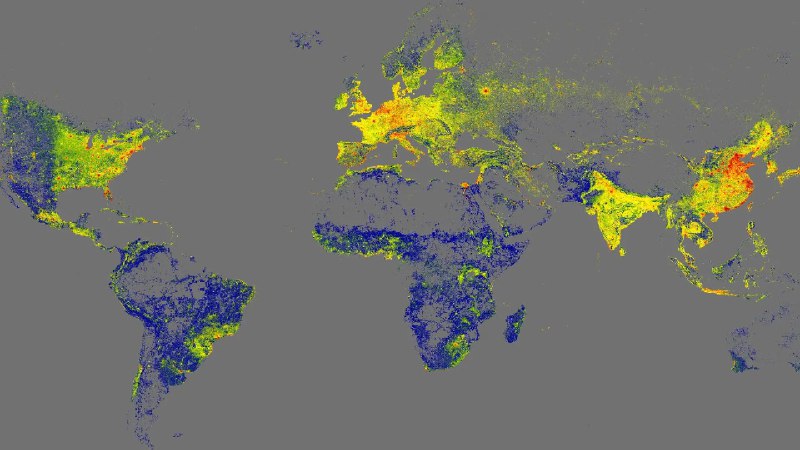
The Technical University of Munich (TUM) has created the world’s first complete 3D map of buildings — GlobalBuildingAtlas. It shows 2.75 billion structures in detail, including regions that had previously remained blank spots.
Earlier projects covered up to 1.7 billion objects and were less accurate and more limited in scope. Now each house has been recreated at 3×3 metre resolution, which also makes it possible to assess height, volume and building density. Ninety-seven percent of buildings are represented at LOD1 detail level, suitable for large-scale analysis of urban environments.
For city planners, such a map is almost like an X-ray of the city: it allows them to see buildings and shadow corridors precisely, predict energy consumption, model traffic flows, lighting, heat islands and emergency risks.
For ordinary people, the 3D map helps them better understand their city: it makes navigation more accurate, simplifies the assessment of housing risks (sunlight, noise, possible future development) and improves the quality of services — from delivery to emergency response. It is the basis for a more convenient, safer and more predictable urban everyday life.