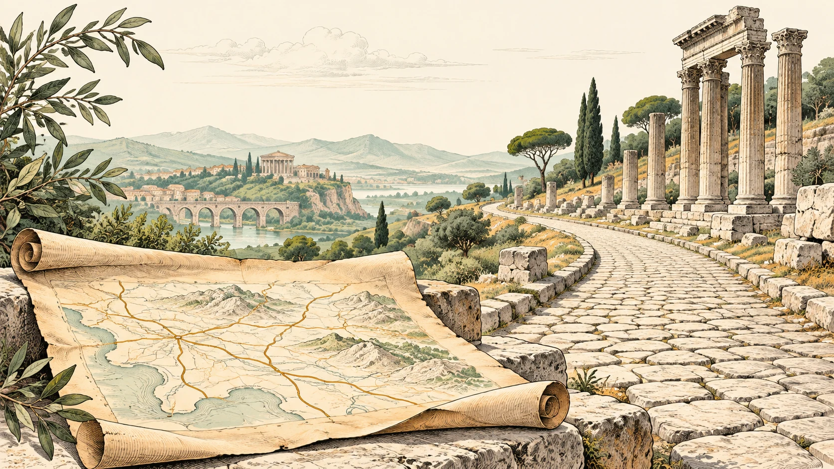
Scientists have created the first interactive map of the roads of the Roman Empire, Itiner-e: plan a route, study the terrain, and find out how many hours it took to walk from Salamanca to Comum.
The project was conceived by a team of 24 scientists, each with their own specialization — archaeology, cartography, IT, and a simple love of ancient roads. Their goal was to reconstruct the transport network of the second century with maximum accuracy. The result is convincing: we now know that around 180,000 miles of roads were laid across the Roman Empire. That is almost one and a half times more than had been thought before. The map covers territory from Britain to Syria and from Morocco to the Balkans. The Iberian Peninsula, Greece, and North Africa turned out to be especially rich in findings.
Of course, absolute accuracy is not possible — only 2.7% of routes are confirmed with 100% certainty, while the rest are reconstructed from sources of varying reliability. But that does not prevent it from offering a remarkably detailed picture of how the empire administered its territories and connected more than 55 million people.
Itiner-e is not just entertainment. It is a serious contribution to digital humanities and a great way to look into the past through a convenient interface. Want to know how the Romans supported trade, cultural ties, or simply got to the nearest town? Welcome.