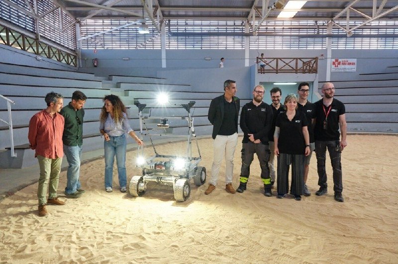
On the Canary Islands, European engineers successfully carried out the first-ever tests of a prototype satellite navigation system for the Moon — the LUPIN system. The project is being developed by the Spanish company GMV on the initiative of the European Space Agency (ESA), and could become for future lunar missions what GPS became for Earth.
The tests took place in a volcanic desert on the islands, with landscapes resembling the Moon’s surface. Specialists recreated conditions for driving a lunar rover. Signal emulation showed that positioning can be performed instantly and with high accuracy — even in difficult situations such as the “shadows of eternal night” near the Moon’s south pole.
This is the first step toward building a full navigation infrastructure on the Moon. Today’s missions still rely on slow computations and communication with Earth, which limits autonomy and accuracy. Autonomous LUPIN systems would enable faster and safer route planning, help avoid obstacles, and support movement planning.